
DEFENSE / 3D VISUALIZATION
DoD Work Reel
Selected Department of Defense work spanning 3D modeling, texturing, animation, and rendering.

PREPARED FOR / TESCO EQUIPMENT LLC
From an initial concept to a hyper-realistic finished visual. Explore 3D modeling, texturing, compositing, animation, and product rendering across defense and commercial work.
Francis Check brings modeling, texturing, animation, and rendering together to turn concepts into detailed, lifelike visuals. This reel offers an overview of the visual craft behind the work.
Two focused reels showing 3D visualization across defense and commercial applications.
Selected Department of Defense work spanning 3D modeling, texturing, animation, and rendering.

Selected commercial work bringing product forms, materials, and movement into high-end 3D visuals.
3D animation can communicate how a system is assembled, deployed, or used—helping stakeholders understand the concept while creating reusable marketing material.
This video was created by taking client-provided CAD models, preparing and bringing them into a complete 3D environment, then developing the 3D animation, lighting, and final rendering. The result clearly communicates how the CONEX covering is handled and positioned for stakeholder presentations and marketing use.
Compare a lower-detail satellite-derived representation with high-quality scan data of the same location. This photogrammetry example shows the added surface detail and geometry that dedicated capture can provide. For Tesco, on-site LiDAR can establish scale, with supporting imagery supplying visual detail.
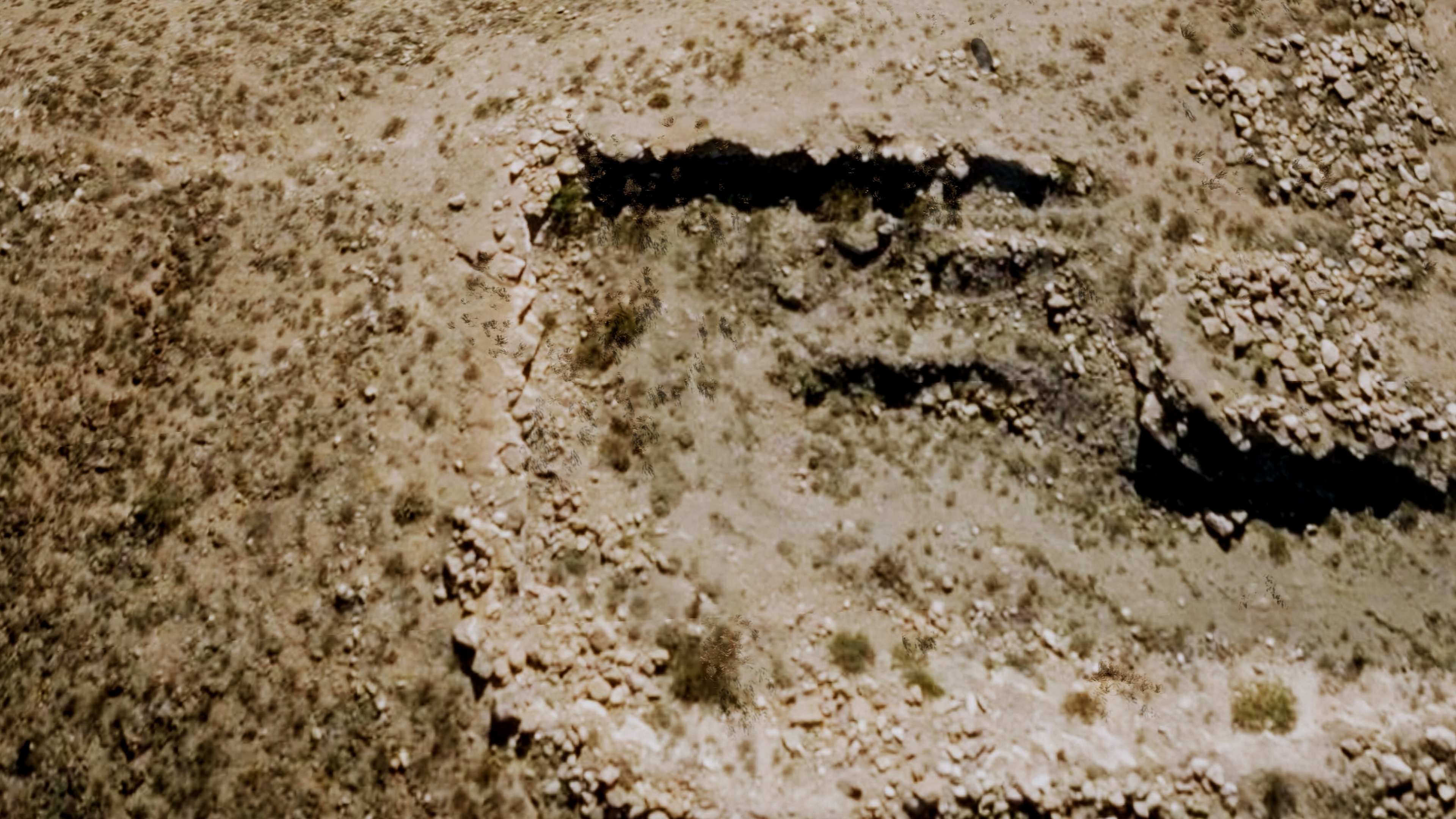
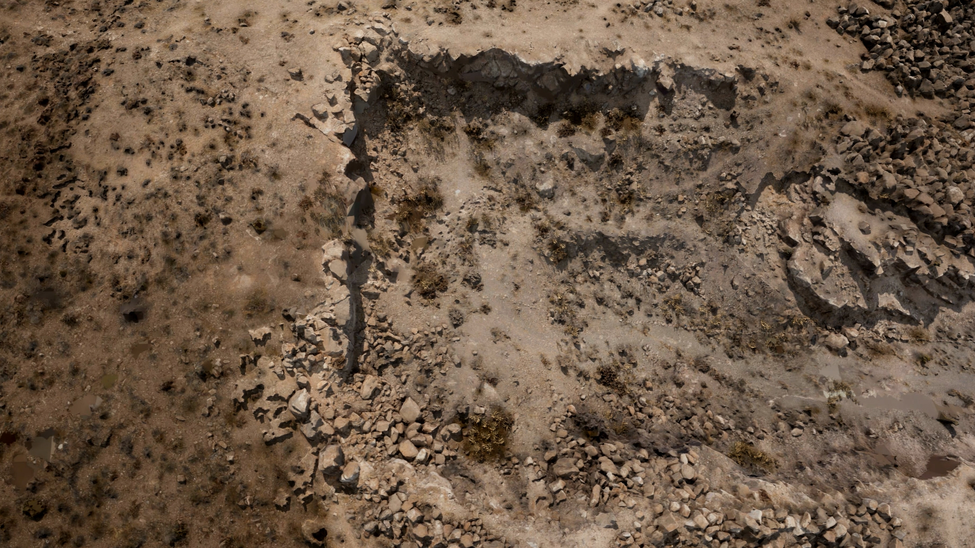 SATELLITE DATAHIGH-QUALITY SCAN DATA
This observatory on A Mountain was reconstructed from high-quality capture data. Explore the model to see how a real-world location can become a navigable digital asset.
These views show the currently available 3D-tile coverage around Chicago O'Hare. This data can establish the broader airport environment for the base animation, while optional on-site capture can provide more precise reference and detail around the selected gate.
Review the initial animation package, future video options, and project terms.
More about Francis Check